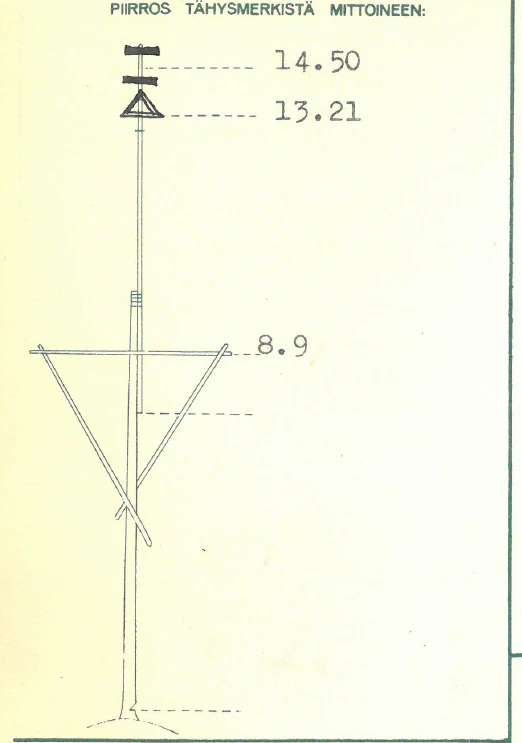
In Finland, three extensive triangulation measurements have been carried out, with the help of which the Finnish basic map atlas has been compiled. The maps were prepared using the triangulation principle. A triangular grid consisting of three fixed points was used in the measurement. When the length of the two points of one triangle, i.e. the length of the side of the triangle, was known, the others could be calculated with the help of angles and the distances and location of the other points could be found out. It was possible to calculate the coordinates for these fixed points, which could be used to measure the locations of other objects in the terrain. Triangulation was based on line of sight through focal points, and because of this, triangulation towers and so-called treetop signs.
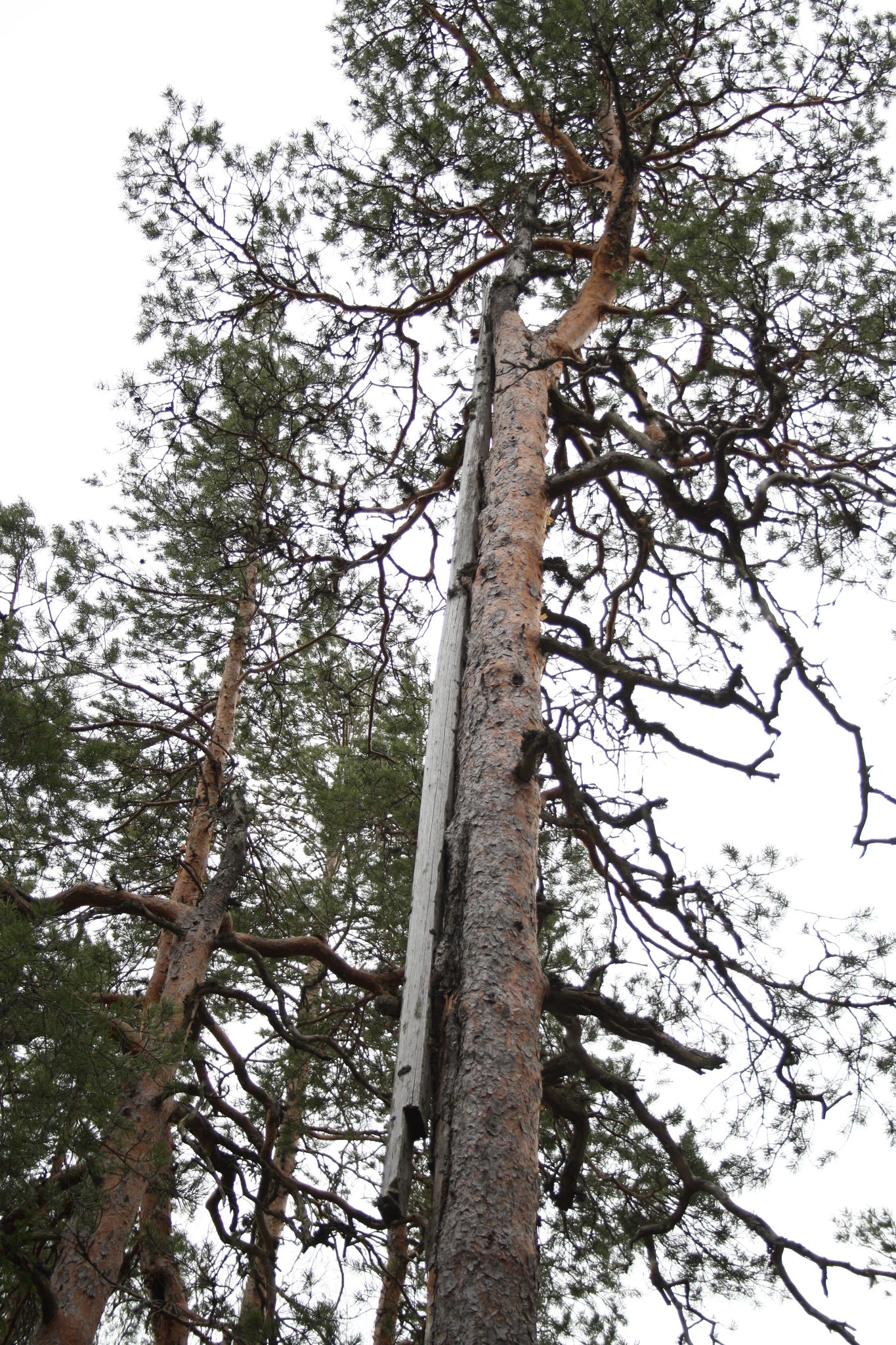
The treetop marker used in triangulation has been located at this location. The treetop sign and the trees where the sign was located are no longer visible in the terrain. The trees in question were felled in connection with logging in the 1970s and 1980s. However, treetop marker structures can still be observed in at least one similar location within the park.
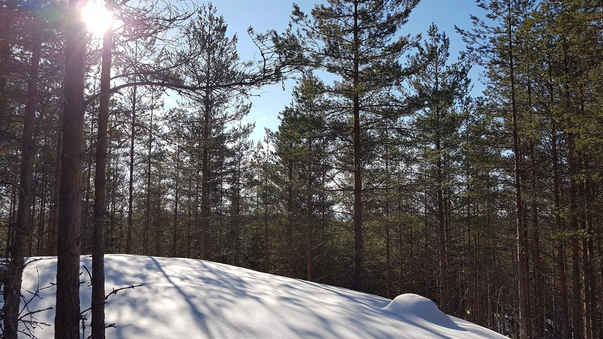
This hill is the first hill about 190 m from the Sikoniemi road crossroads.