Description of the difficulty of the trail section:
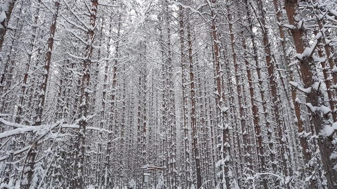
The trail section is not seen all-the-time as on open and clear trail in the terrain.
From the crossing of the Talas-Kuutinkanava-Määkijä routes, the trail climbs up a gentle hill to Puunlatvamerkinmäki. The forest is very dense and thick in places. After the ascent, those using wide skishoes should descend carefully because the trail joins the trail from Sikoniemi road to Puunlatvamerkinmäki. The taril is easy for snowshoes and especially those using poles, despite the height difference.
Direction of movement:
The direction of the trail is clockwise. The trail is two-way on the section Tervajärvi - Puunlatvamerkinmäki. Note, two-way movement at the bottom of the hill (watch out for oncoming movement) for a very short distance when the trail joins the trail going up the hill. Otherwise, the direction of movement must be followed.
Character of the trail section:
The trail section is short and rises in a dense pine forest from the Sikoniemi road crossing of the Puunlatvamerkinmäki join to the trail going up the hill, when the ring trail closes.
Lenght of the trail section:
200 m
Nearest place for campfire:
The nearest place for camfire is Talas which is 290 meters from the route. It is easy to get to Talas from the rest of the trail along the official trail of the national park.