Description of the difficulty of the trail section:
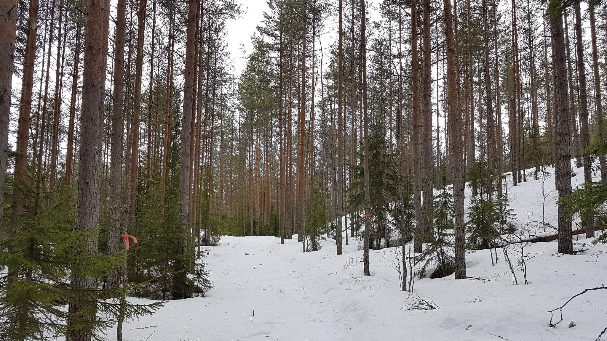
The trail section is seen all-the-time as on open and clear trail in the terrain.
At the beginning of the section, the trail runs along the bottom of the old ski track. After crossing the official route of the national park (Talas - Kuutinkanava), the trail runs along the borders of the forest type and gently climbs again into the dense pine hill.
The section of the trail is easy for those moving on both wide skishoes and snowshoes. If the hikers end the trail section at the rest stop in Talas and continue their trip along the national park's official route to the gate of Tervajärvi, this route is of medium difficulty for those moving on wide skishoes due to the hills.
Direction of movement:
Along the trail, the types of forest and trees vary as the trail progresses. In some places, the terrain is open and the trees are older. In the middle of the section, the trail crosses the border of the forest type, where you can see a few fired tree stumps. In the final section, the trail returns to the same old logging area from the 1970s, i.e. a dense pine forest.
The trail section ends at the crossing of the national park's official route (Talas - Kuutinkanava - Määkijja), where there are official route signs. Those who have circled the trail of Liiturin kiito have the opportunity to follow the signs to the place for the campfire and tents in Talas, where there is e.g. a fireplace and an excellent opportunity to make a campfire. From Talas, it is possible to continue the trip either to the gate of Tervajärvi along the shore along the official route, or to return to the crossing of Liiturin kiito and take the marked trail back to Tervajärvi starting point (Tervajärvi gate).
Lenght of the trail section:
600 m
Point of the interest along the trail section:
Fired tree stumps